


:: BIODIVERSITY & CONSERVATION
:: FISHERIES & MARICULTURE
:: TRANSPORT & INFRASTRUCTURE
:: TOURISM,SPORTS & RECREATION
:: ENERGY & MINERAL RESOURCES
:: MARITIME SAFETY, SECURITY &DEFENSE
:: CULTURAL HERITAGE
:: DATA-PORTAL
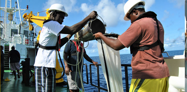
Oceanography is a core thematic area in Kenya's Marine Spatial Planning. It provides essential scientific data on ocean currents, tides, waves, water quality, sea surface temperature, salinity, and seabed features. This information supports marine resource management, maritime safety, and climate change adaptation. Kenya relies on institutions like the Kenya Marine and Fisheries Research Institute (KMFRI) and international partners to generate and share oceanographic data, ensuring that marine spatial plans are evidence-based, adaptive, and aligned with ecosystem-based management. In MSP oceanographic data help in: Zoning and habitat mapping to support sustainable use and protection of marine ecosystems Identifying suitable areas for activities such as aquaculture, port development, marine. Supporting early warning systems for storm surges, sea-level rise, and coastal erosion, enhancing coastal resilience and safety
Office of the National Project Coordinator, KEMFSED
Maktaba Kuu Building, Ngong Road, Upper Hill,
Mezzanine Floor, Nairobi